Potential record-breaking heat wave descends on NYC, mayoral primary voting could be affected
Published in Weather News
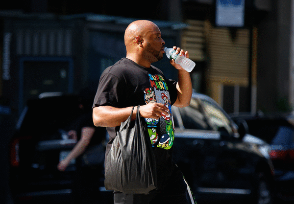
NEW YORK — The heat wave that New York City and the Northeast have been bracing for descended in earnest Monday as temperatures hit 86 degrees by 8 a.m.
The soaring temperatures expected over the next few days come just as New Yorkers head to the polls Tuesday for the Democratic primary that will decide the party’s mayoral candidate, possibly keeping many voters home.
Tuesday’s temperatures could break a 137-year-old single-date record, National Weather Service meteorologist Joe Pollina told the Daily News. The record high for New York City on June 24 specifically was 96 degrees, “and that was set back in 1888,” he said. “And we are forecasting 100 for New York City on Tuesday.”
While that is not the highest-ever temperature recorded in New York City — the mercury hit 106 on July 9, 1936 — he said Tuesday will feel like “anywhere from 103 to as high as 108 for portions of the city,” as humidity will make it feel several degrees warmer
Northern Manhattan and northern Staten Island will be the hottest spots, Pollina said, with actual temperatures at 101 or 102. New Jersey was going to be even more slammed, with 104 degrees predicted for Bergen County.
The Washington, D.C area was slated to get even worse heat, with humidity making it feel more like 110 degrees. In western Pennsylvania the extreme heat warning was coupled with potential severe weather.
Such temperatures are dangerous not just to those who are particularly vulnerable to heat, such as the elderly and infants, but also threaten “anyone without effective cooling and/or adequate hydration,” the National Weather Service said.
The NWS had already issued an extreme heat warning, the highest level of temperature alert, starting early Sunday, a heat-risk level “known for being rare and/or long duration with little to no overnight relief,” the agency said. “High temperatures in the 90s to 100s and lows in the 70s to low 80s will break numerous records over the next several days.”
The heat warning will last until at least 8 p.m. Tuesday, but that won’t quite be the end of it, Pollina said. It will still be in the 90s on Wednesday. Thursday will see “more seasonable levels, with highs in the mid- to upper 80s,” he said.
©2025 New York Daily News. Visit at nydailynews.com. Distributed by Tribune Content Agency, LLC.


Comments